|
|
3D modelsThe 2D map is also used while creating the 3D model. In addition to tube-like models generated from LRUD data by almost all surveying programs Therion uses precise passage outlines and information about passage height as specified in the 2D map to create much more realistic model without any additional work. 3D model can be interactively explored in Loch 3D viewer (a part of Therion package).
Its features include:
SamplesDead Bats Cave and Cold Wind Cave: 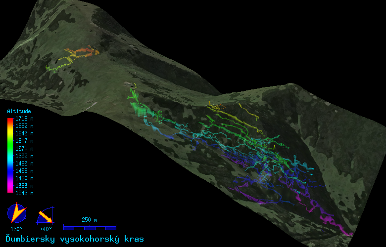 The detail of the Cold Wind Cave: 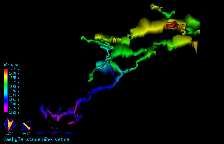 Velika Klisura Cave in stereo (anaglyph) mode. 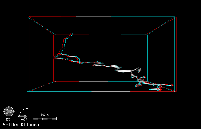
Interactive model of Velika Klisura Cave (click on the image to view VRML model). 
|